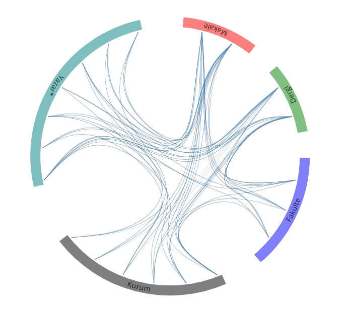
Yayınlar & Eserler

SCI, SSCI ve AHCI İndekslerine Giren Dergilerde Yayınlanan Makaleler

Diğer Dergilerde Yayınlanan Makaleler

Hakemli Kongre / Sempozyum Bildiri Kitaplarında Yer Alan Yayınlar

iPad Pro LiDAR Sensörünün Kapalı Mekan Ölçmelerindeki Performans Analizi

TUFUAB 2022: XI. Türkiye Ulusal Fotogrametri ve Uzaktan Algılama Birliği Teknik Sempozyumu, Mersin, Türkiye, 12 Mayıs 2022, ss.83

Mermerlerde Isıl Etkiyle Oluşan Bozunma Düzeyinin Laboratuvarda Yersel Lazer Taraması ile Belirlenmesi

MÜHJEO’2021: Ulusal Mühendislik Jeolojisi ve Jeoteknik Sempozyumu, 21-23 Ekim 2021, İTÜ, İstanbul, İstanbul, Türkiye, 21 Ekim 2021

Comparison of NDT and ICP Method’s point cloud registration performance

1st Intercontinental Geoinformation Days (IGD), Türkiye, 25 - 26 Kasım 2020, ss.130-133

On the Use of DEM by Unmanned Aerial Vehicle and Airborne LIDAR Data in Local Geoid Model Determination and Validation

XXVIII INTERNATIONAL SYMPOSIUM ONMODERN TECHNOLOGIES, EDUCATION AND PROFESSIONAL PRACTICEIN GEODESY AND RELATED FIELDS, 8 - 09 Kasım 2018

The Accuracy Assessment of 3D Transformations for The Registration of Point Clouds

XXVII International Symposium on Modern Technologies, Education and Professional Practice in Geodesy and Related Fields, Sofija, Bulgaristan, 9 - 10 Kasım 2017

Digital Elevation Model Analyses in Urban Area using Airborne LIDAR Data

XXVII International Symposium on Modern Technologies, Education and Professional Practice in Geodesy and Related Fields, Sofija, Bulgaristan, 9 - 10 Kasım 2017

Evaluations on Digital Elevation Model Generation By Using Airborne LiDAR Technique In West of Turkey

International Symposium on GIS Applications in Geography and Geosciences (ISGGG 2017), Çanakkale, Türkiye, 18 - 21 Ekim 2017

Strip Adjustment of Mobile Mapping Point Clouds: Case Study inIstanbul Technical University (ITU) Ayazaga Campus

INTERNATIONAL SYMPOSIUM ON GIS APPLICATIONS IN GEOGRAPHY AND GEOSCIENCES, 18 - 21 Ekim 2017

A Study on Accessibility and Optimum Positioning ofRecycling Containers: Üsküdar Case

MESAEP Mediterranean Scientific Association of Enviromental Protection, Roma, İtalya, 4 - 06 Ekim 2017

THE SEGMENTATION OF POINT CLOUDS WITH K-MEANS AND ANN (ARTIFICAL NEURAL NETWORK)

ISPRS Hannover Workshop / High-Resolution Earth Imaging for Geospatial Information (HRIGI) Workshop / City Models, Roads and Traffic (CMRT) Workshop / Image Sequence Analysis (ISA) Workshop / European Calibration and Orientation (EuroCOW) Workshop, Hannover, Almanya, 6 - 09 Haziran 2017, ss.595-598 identifier identifier

ANALYSIS OF TERRESTRIAL LASER SCANNING AND PHOTOGRAMMETRY DATA FOR DOCUMENTATION OF HISTORICAL ARTIFACTS

3rd International GeoAdvances Workshop / ISPRS Workshop on Multi-dimensional and Multi-Scale Spatial Data Modeling, İstanbul, Türkiye, 16 - 17 Ekim 2016, ss.155-158 Sürdürülebilir Kalkınma identifier identifier

Kitap & Kitap Bölümleri

The Prediction of Nonlinear Polar Motion Based on Artificial Neural Network (ANN) and Fuzzy Inference System (FIS)

Advances in Nonlinear Geosciences, Anastasios A. Tsonis, Editör, Springer International Publishing, ss.297-304, 2018

Metrikler

Yayın

18

Atıf (WoS)

5

H-İndeks (WoS)

2

Atıf (Scopus)

31

H-İndeks (Scopus)

4

Proje

1
BM Sürdürülebilir Kalkınma Amaçları