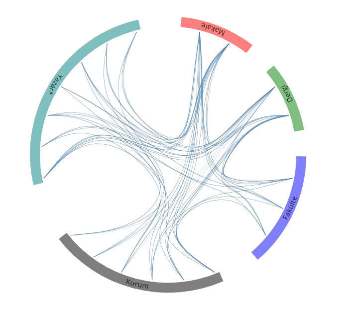
SCI, SSCI ve AHCI İndekslerine Giren Dergilerde Yayınlanan Makaleler
Function matching for Soviet-era table-based modified polyconic projections
INTERNATIONAL JOURNAL OF GEOGRAPHICAL INFORMATION SCIENCE
, cilt.20, sa.7, ss.769-795, 2006 (SCI-Expanded)
Diğer Dergilerde Yayınlanan Makaleler
DEM Accuracy of High Resolution Satellite Images
Lecture Notes in Computer Science
, 2012 (Hakemli Dergi)
Hakemli Kongre / Sempozyum Bildiri Kitaplarında Yer Alan Yayınlar
A Preliminary Research on Methodology for Establishing Legal Infrastructure Regarding Public Law Restrictions Cadastre in Türkiye
5th Intercontinental Geoinformation Days, Hindistan, 14 Aralık 2022
AFET YÖNETİMİNDE UZAKTAN ALGILAMA
TMMOB AFET SEMPOZYUMU 2022, Ankara, Türkiye, 20 - 22 Nisan 2022
Legal aspect of space activities in international context
2nd Intercontinental Geoinformation Days (IGD) – 5-6 May 2021 – Mersin, Turkey, Mersin, Türkiye, 5 - 06 Mayıs 2021, ss.84-87
Least Squares Curve Fitting via High Dimensional Model Representation for Digitial Elevation Model
International Symposium on Geographic Information Systems, İstanbul, Türkiye, 23 - 26 Eylül 2002
Arazi Yönetiminde Veri Boyutu
Arazi Yönetimi Çalıştayı-Türkiye’de Sürdürülebilir Arazi Yönetimi, İstanbul, Türkiye, 26 - 27 Mayıs 2011
Yüksek Çözünürlüklü Uydu Görüntülerinden Kentsel Alanlardaki Değişimlerin 3 Boyutlu Analizi
Kent Yönetimi, İnsan ve Çevre Sorunları Sempozyumu, İstanbul, Türkiye, 2 - 06 Kasım 2008, ss.570-576
Datum Transformations of The Local Basemaps of Rize For Rabis Rize Disaster Management System Project
TIEMS 15th Annual Conference, 17 - 19 Haziran 2008
Determining Earthquake Potential On The North Anatolıan Fault Western Marmara Segment by GPS Measurements
International Workshop on Natural Disasters & Emergency Management, 22 - 24 Eylül 2007
GPS Measurements on the Western Marmara Segment of North Anatolian Fault
Modern Technologies, Education And Professional Practice In Geodesy And Related Fields, 3 - 04 Kasım 2005
Ulaştırma Yapılarına İlişkin Mühendislik Projelerinde Yatay Düşey Kontrol Ağlarının Oluşturulması Üsküdar Ümraniye II Etap Hafif Metro Projesi Örneği
TMMOB Harita ve Kadastro Mühendisleri Odası, 10. Türkiye Harita Bilimsel ve Teknik Kurultayı, Ankara, Türkiye, 28 Mart - 01 Nisan 2005
Heyelanların Jeodezik ve Geoteknik Yöntemlerle İzlenmesi Ambarlı Liman Bölgesinde Bir Uygulama
1. Ulusal Mühendislik Ölçmeleri Sempozyumu, İstanbul, Türkiye, 30 - 31 Ekim 2003, ss.91-105
İnternet Ortamında Coğrafi Bilgi Sistemi Uygulaması Web Tabanlı Haliç Bilgi Sistemi WHBS
TUJK 2003 Yılı Bilimsel Toplantısı Coğrafi Bilgi Sistemleri ve Jeodezik Ağlar Çalıştayı, Konya, Türkiye, 24 - 26 Eylül 2003, ss.146-154
Internet Based GIS Implementations A Case Study in an Ancient Settlement of Istanbul
ISPRS WG VII/4 Symposium Remote Sensing of Urban Areas, Regensburg, Almanya, 27 - 29 Haziran 2003, ss.11-17
Deformation Monitoring With Geodetic and Geotechnical Methods Case Study In Ambarli Region
International Symposium on Geographic Information Systems, İstanbul, Türkiye, 23 - 26 Eylül 2002, ss.354-364
The Vertical Results of the Ambarli Deformation Measurements by Geodetic Methods
International Symposium on Modern Information and GPS Technology-Aspects and Implications of Their Application, Sofija, Bulgaristan, 8 - 09 Kasım 2001, ss.150-159
The Effect of Common Point Density and Number in 3 D Coordinate Transformation
International Symposium on Modern Information and GPS Technology-Aspects and Implications of Their Application, Sofija, Bulgaristan, 8 - 09 Kasım 2001, ss.263-270
Landslide Monitoring Project by Using Different Techniques
Fourth International Symposium Turkish-German Joint Geodetic Days, Berlin, Almanya, 3 - 06 Nisan 2001, cilt.2, ss.663-670
Comparison of GPS and Precise Leveling Derived Height Differences in Urban Area
Fourth International Symposium Turkish-German Joint Geodetic Days, Berlin, Almanya, 3 - 06 Nisan 2001, cilt.2, ss.671-678
The Results of the New Galata Bridge Deformation Measurements by Using Different Methods
International Symposium on Modern Information and GPS Technology-Aspects and Implications of Their Application, Sofija, Bulgaristan, 11 - 12 Kasım 1999, ss.302-312
A Research On The Role of the Geoid Undulations in 3D Transformation
International Symposium on Remote Sensing and Integrated Technologies, İstanbul, Türkiye, 21 - 23 Ekim 1999, ss.301-310